OUR CAPABILITIES


SAFE. SECURE. RESILIENT.
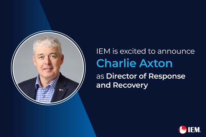
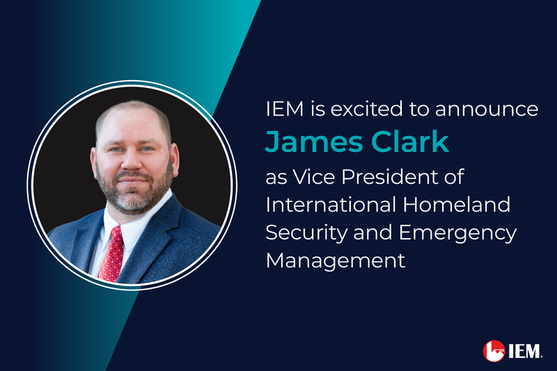
IEM works with government agencies and private sector organizations around the world to improve disaster preparedness, response, recovery and strengthen homeland defense, counter terrorism, public health, cybersecurity, and public agency performance. Our team of 1200 employees work together to build scientific tools and develop data-driven strategies that help our clients achieve measurable results—saving lives, reducing costs, increasing efficiencies, and improving decision making.
FEATURED INSIGHTS